3320 – a long climb!
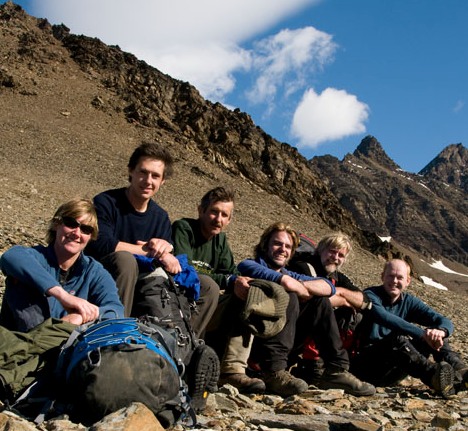 On Sunday a group of us Rob (BC), Alastair (beaker), Hugh (handyman), Jon (beaker), Theis (resident yachtie) and myself climbed 3320. The peak is unnamed so it is distiguished on the map from others by its height in feet. You can see the peak in the picture it is the furthest one on the right above our heads.
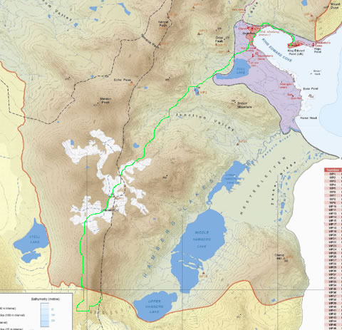
It is at the far extent of our travel area so we walked a total of 20.4km which is very hard going on the scree slopes. The walk from base takes you along the track – the furries were acting oddly and wanted to attack us as we walked by. Exit Grytviken on the track up to Gull Lake than alongside the lake on the springy mossy ground and up the stream bed past the little lake at the west base of Brown Mountain. From there across the top end of junction valley and onto the scree slopes. Past the Echo pass turn off and up more scree slopes with a large waterfall. At the top of this little hill is Glacier Col which has the remanents of a large glacier which is melting fast into a large torrent of glacier melt water rushing down a waterfall that has spread out across a wide area.
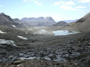
Walking over the glacier morraines is much nicer than the large scree as is walking over some of the snow patches. At this point you reach the top of the Col at 486m and descend into a valley with the top of Lyell Glacier on your right side and Lyell lake.

View of the peak from the top of Glacier Col.
The traversing of the lower slopes of the 3320 mountain was a killer on the knees and seemed to go on forever, as to get to the top requires approaching from the south side of the moutain. From then on it is some serious scrambling on rotten rock requiring use of hand holds to pull yourself up the moutain all 800m of it!
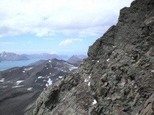
The last part to the summit requires climbing very carefully up a small crack see below picture.
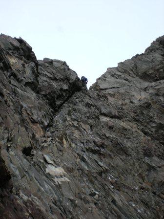
At this point our party split into two as one person didn’t feel comfortable about getting up the last 5 meters so we left three to exit the summit down another gully while we turned around and went down the one we had come up. The below is a panaroma half way down the moutain (by Alastair).
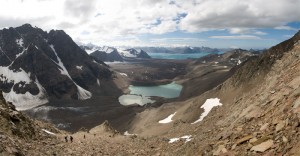
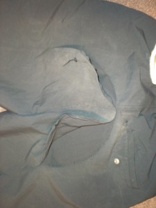
The ”expedition’ took 10.5 hours with a few short breaks and we climbed about 1700m or 5577feet. It was very windy at times so we did get buffeted around and unless down jackets were donned it got chilly during the stops. The majority of the time was taken on the descent as the ground was steep and the rock very rotten so we needed to go slowly and pick our way. At some points we were on our butts. I lost the bottoms out of yet another set of trousers – so have a bit of sewing to do.
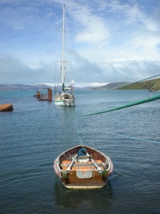
We got back to Grytviken and were invited onto Wanderer III the local yacht for cake and tea and this became pasta which was exactly what the Dr. ordered. We didn’t get back to station until 10pm when we fell into our beds. Not a bad Sunday.
5 Responses to “3320 – a long climb!”
-
Mark Wilson December 21st, 2010 at 1:34 am
Hi Ashley
Wow what a day’s climb, & a superb mountain in such a special place. I would not think too many people have climbed it either!
The calendars arrived yesterday, so many thanks for those.
Have a great Christmas. -
Pete Frewtell December 21st, 2010 at 9:23 am
Nice to see the new MAGIC map being well used! Looks like a fantastic walk.
-
I am guessing that there have only been at maximum two dozen people. In the last two years only 8 people have gone up there.
-
Annabelle December 23rd, 2010 at 2:36 am
Wow- sounds amazing Ash! Good practice for South America in 2012. Hope you have an amazing Christmas- all of us Booth’s including baby Charlotte Louise who arrived on the 15th Dec send their love xoxox
-
henry perrin December 24th, 2010 at 12:39 pm
Well, I did not even want to go a walk down the road with Darager and Dad, you have lots more energy than me Auntie Ashley xxx


