Glacier mapping
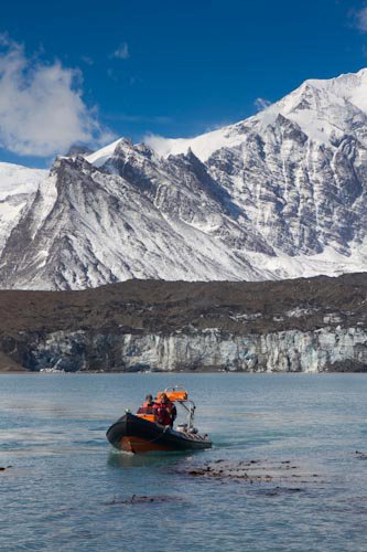
Yesterday morning we had a 5 hour boating trip which was great fun. Starting with the endless rat boxes at Greene then Maiviken, then we picked up a rusted drum off the beach, followed by dropping off Hugh and Andy at Harpon.

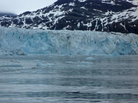
Hugh made a new door for the hut at Harpon so while he fitted it we went over to the Neymeuer Glacier ice cliffs.

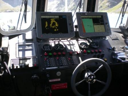
Using the radar I kept us 1/4 mile off the cliff and plotted it as a track on the GPS. It has been found that this glacier is receding at a rate of 1 meter per day! That is an incredible rate of collapse of a large and beautiful glacier.

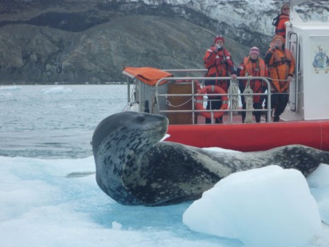
While we were doing the mapping Tommy spotted a Lep pulled out on a bergy bit.

We went back to Harpon and picked up the tools and boatsuits from the Harpon party and waved at the two people summiting 3320 before heading back to base. Sue asked us to grab some kelp for making kelp crisps – not sure how they will taste! Odds and ends to do back at base including trying to repair the sponson still on Luna so that it will hold air for a reasonable amount of time. I had dinner over at the museum and watched a movie about whales which one of the visiting yachties had made.
2 Responses to “Glacier mapping”
-
Mum and Dad February 23rd, 2011 at 8:14 pm
How sad re the glacier x mum
-
Yes it is very sad 🙁

